South Perth Foreshore
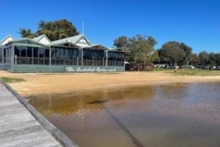
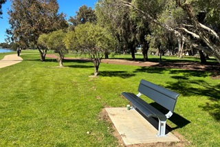
The South Perth Foreshore (SPF) is an extensive area of public open space that occupies approximately 62 hectares of Swan River foreshore land. It stretches from the Narrows Bridge in the west to Ellam Street in the east, where it joins the Town of Victoria Park’s foreshore reserves, including McCallum Park.
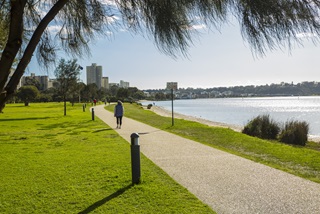
With over four kilometres of north facing foreshore to the City of Perth, it is a significant central Perth Waters portion of the Swan Canning Riverpark.
As custodians of the foreshore, it is vital for the City to ensure this much loved reserve continues to be sustainably managed.

The South Perth Foreshore Strategy and Management Plan (SPF Plan) aims to balance the competing demands for use, development and management of this precious regional reserve with the need to conserve and enhance a functional healthy river and foreshore environment.
The City has engaged extensively with the community and stakeholders on the development of the SPF Plan to improve the amenity, access and sustainability of the reserve.
Objectives
- Create opportunities for increased social activity: Provide diverse activities to support the City’s changing demographic
- Develop and enhance existing parkland, flora and fauna: Protect and enhance vegetation, restore water quality and develop and maintain suitable habitats for fauna
- Encourage healthy lifestyles: Provide diverse recreational opportunities, both passive and active. Encourage people to engage with nature and spend more time outdoors
- Recognise and celebrate history and cultural heritage: Promote awareness and knowledge about site and cultural history through interpretation, place making and engagement initiatives
- Foster and promote sustainability: Establish more sustainable water and energy practises, climate responsive planning and design and maintenance strategies
- Improve accessibility and connectivity: Provide for access to an integrated, well serviced public and alternative transport system including an integrated pedestrian and cycle network. Provide clear wayfinding within and from outside the site. Provide access to everyone, including people with disabilities
- Maintain vistas: Preserve vistas to the City and the Swan River
- Governance: Ensure responsible business principles, budget allocation and best practice infrastructure asset management are applied.
Whole of foreshore strategies
The SPF Plan will assist with the coordination of future works and management of the foreshore, by strategically considering the foreshore as a whole. The four whole of foreshore strategies are:
Transport and Access
- Create a highly accessible and connected public open space, with improved access, connectivity and legibility for all users to the foreshore environment; and
- Identify transport considerations aimed to reduce car use and conflict between modes of transport; review current transport provisions; and investigate multi-modal transport options.
Infrastructure
- Manage the operation, maintenance, renewal and upgrade of infrastructure assets in order to meet community needs in a sustainable, cost effective and holistic manner.
Activation
- Increase activation and appeal of existing spaces through ideas that are trialled and assessed and long term place making opportunities realised through good design, appropriate management, community activation and partnering.
Culture, Environment and Heritage
- Celebrate culture and heritage as a strong element of the foreshore’s identity; and
- Develop an environment that responds to the requirements of climate change and water sensitive urban design practice and provides biodiversity.
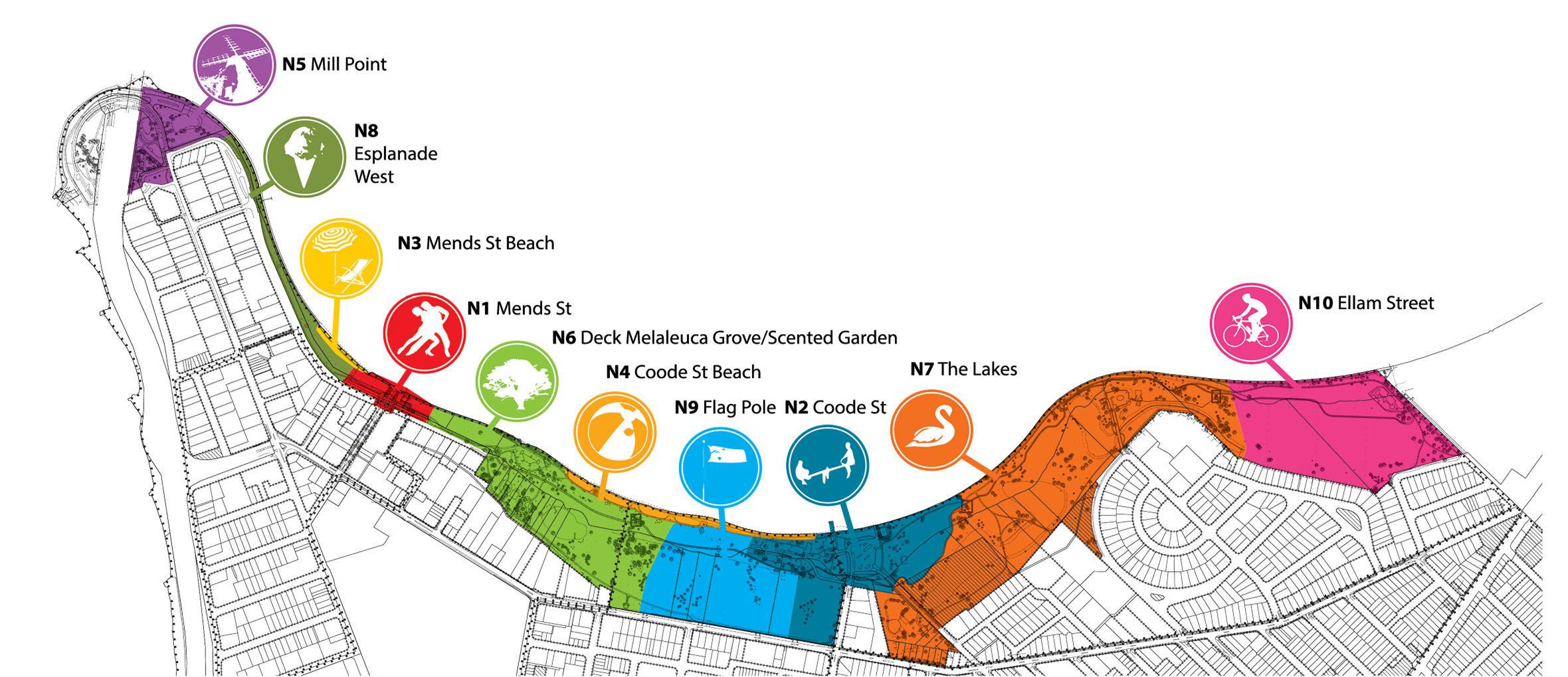
Ten nodes
The SPF Plan also identifies ten nodes, each with distinctive characteristics, opportunities and management issues, and strategies for each. The Node Strategies have been listed in order of the priority ranking attributed to each node during the feedback period, from Node N1 Mends Street to Node 10, Ellam Street.
Find out more about the ten nodes and the strategy for each in the Nodes tab.


.tmb-320x214.jpg?Culture=en&sfvrsn=b254b0bd_1)

.tmb-320x214.png?Culture=en&sfvrsn=61b4aebd_1)

