Mapping the Terrain artwork complete
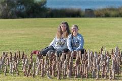
Visit Andrew Thomson Reserve by Sunday 15 December to see temporary public art installation, Mapping the Terrain, created by artists Claire Davenhall and Sheryl Chant.
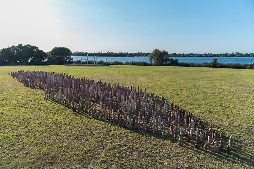
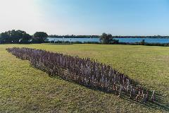
The artwork draws on aerial maps of South Perth and shows the spread of settlement and human impact that has changed the landscape and Canning River since colonisation in 1829.
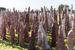
It uses natural materials to represent the energy and flow of the Canning River and aims to bring a peaceful connection with the earth and the ephemeral existence of objects, a respect for place and explores the energy running through the landscape.
The City commissioned this sculpture as part of its A-Reserve temporary art program as part of the 2019/20 Arts, Events and Culture Calendar.
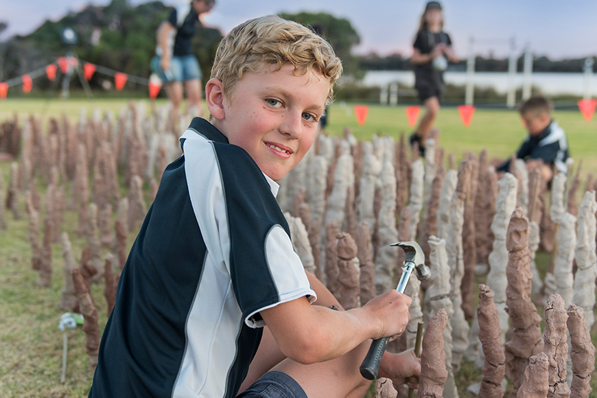
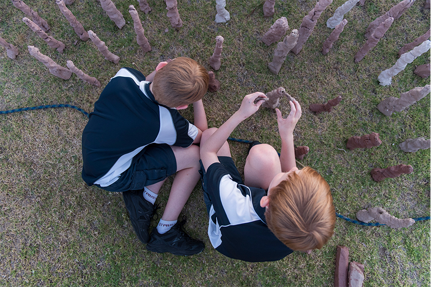
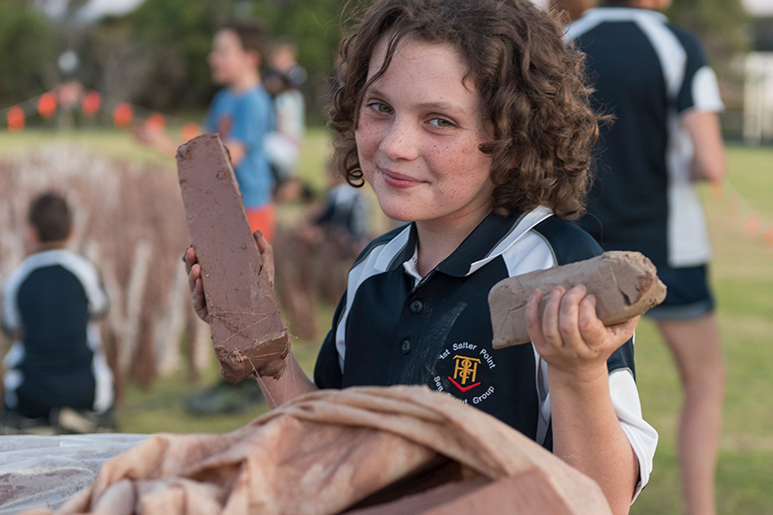
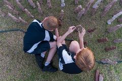
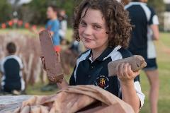
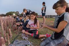
The Salter Point Sea Scouts helped create and install this artwork, from 1 December, having used their mapping skills to carefully mark out the contours of the Canning River on the reserve, using simple wooden sticks and clay mud.
This is the first of two temporary artworks commissioned as part of the City’s A-Reserve temporary public art program, with Roaming Lion by Vincent Elliott to be installed at Ryrie Reserve, Como, from February next year.
See the event listing on the City’s website for more information.


Media contact
- Phone 9474 0777
- Email media@southperth.wa.gov.au